Ecological Impacts Monitoring
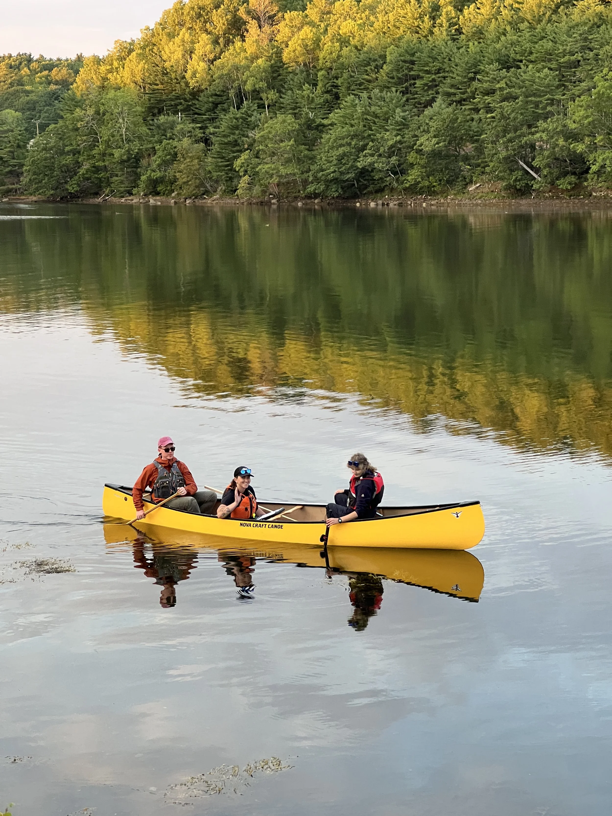
In Summer 2025, Coastal Action’s Climate Change team created a protocol to conduct visual ecosystem monitoring at the unique Mahone Bay Living Shoreline site.
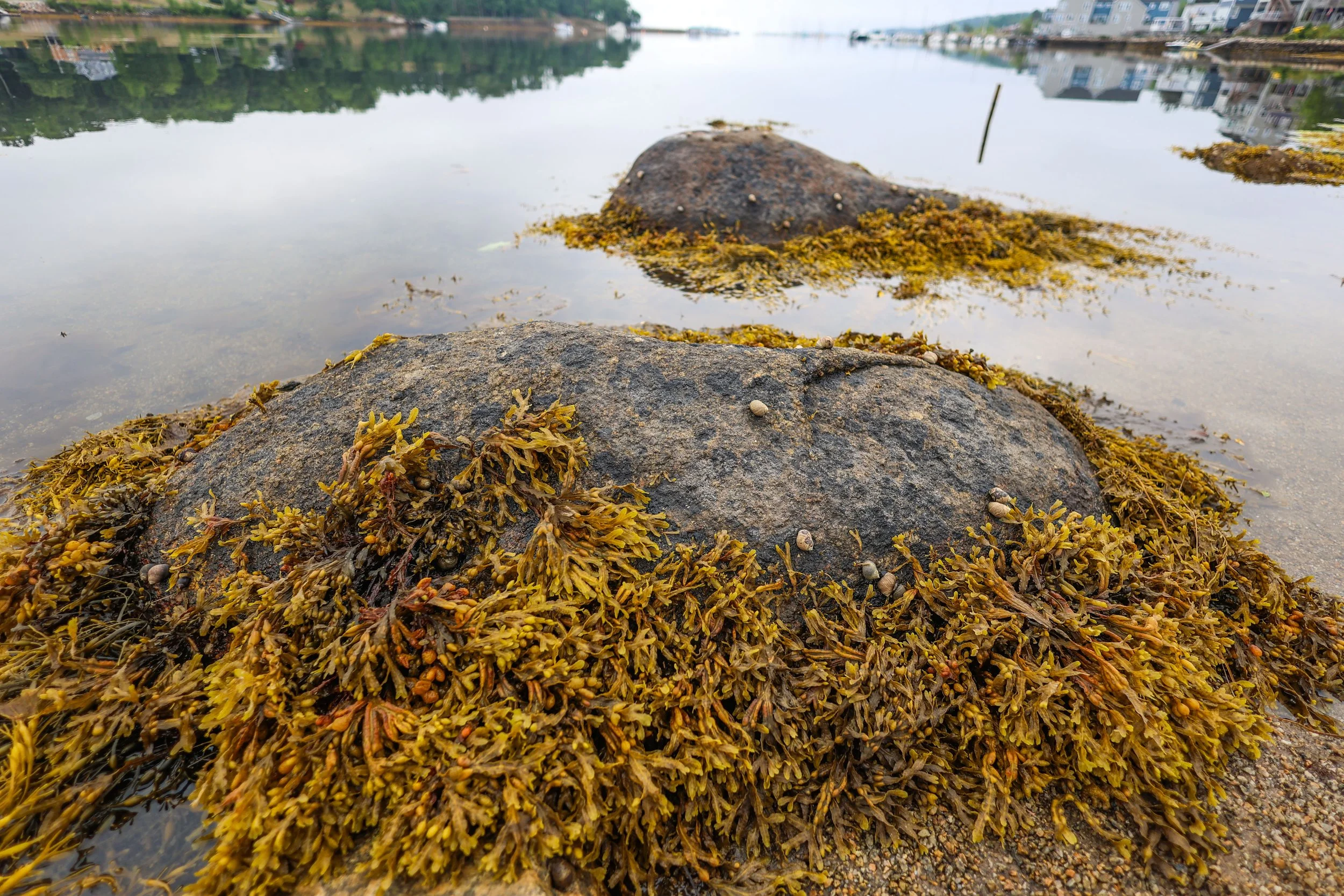
Using an underwater camera, the team records what species are located in the intertidal and subtidal zones at low tide. To measure the successful progress of the Mahone Bay Living Shoreline, the team is looking to see an increase in aquatic vegetation and an increase in fish utilization of the site.
These surveys are separated into two main components: visual intertidal surveys and visual underwater surveys.
Visual Intertidal Surveys
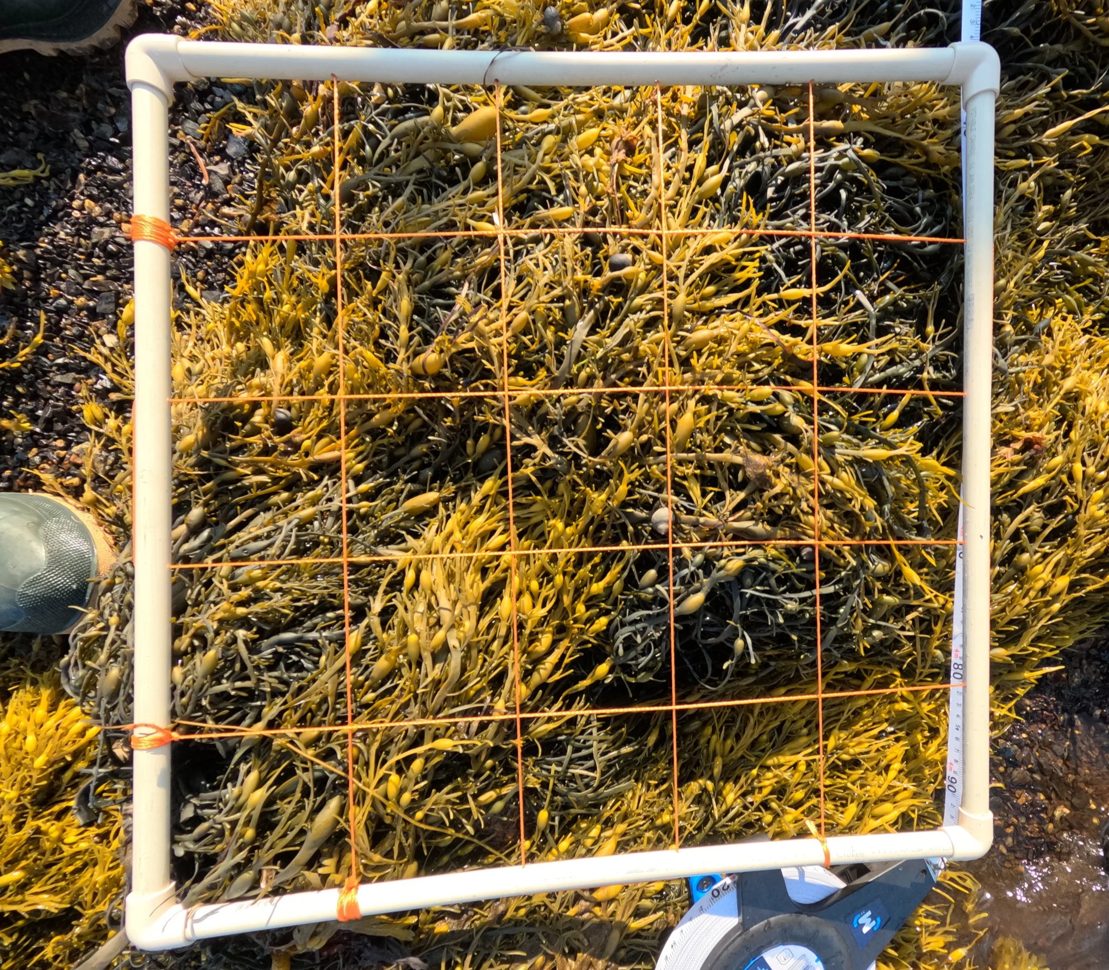
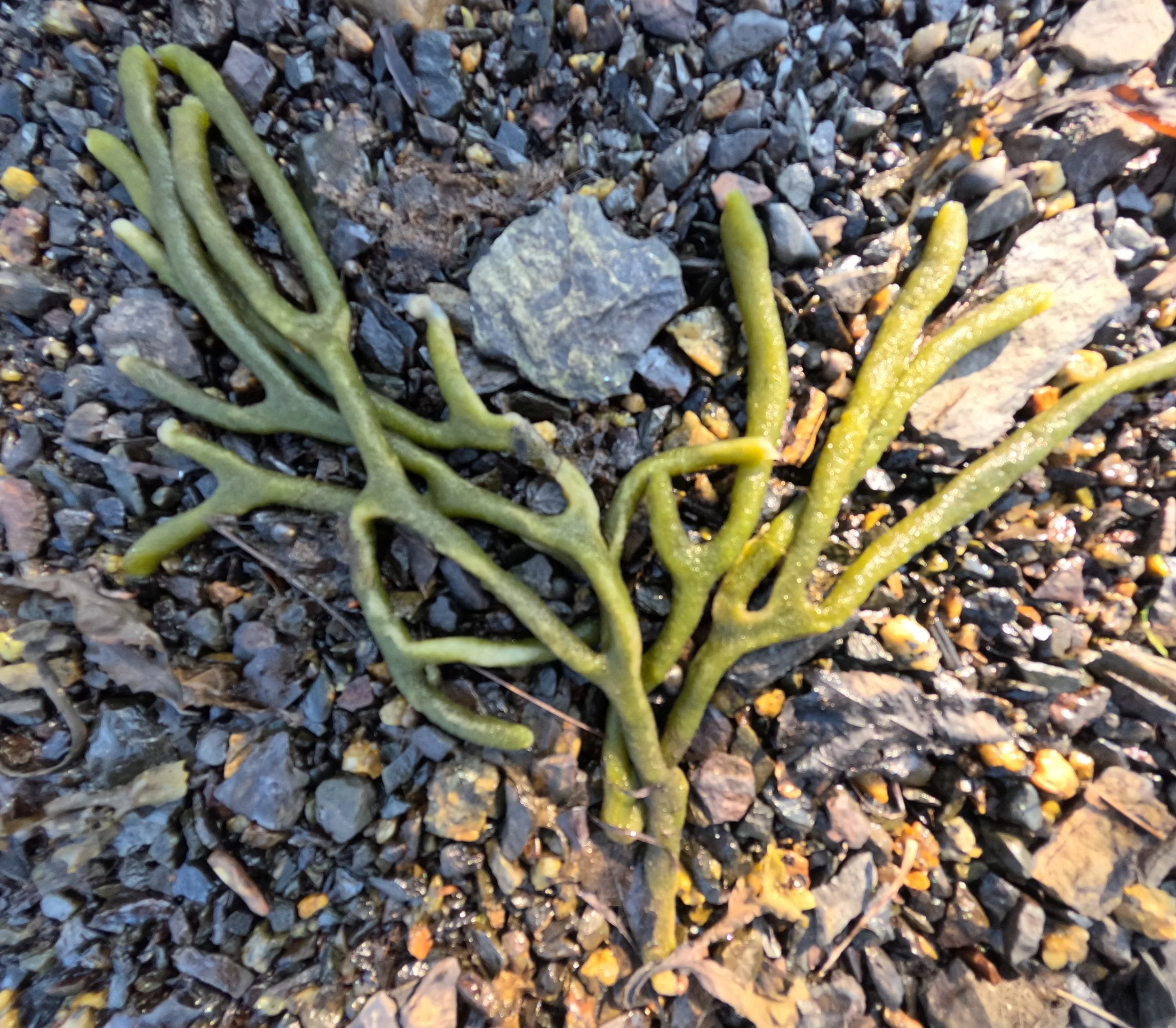
Dividing the Mahone Bay Living Shoreline into even transects, the team places quadrats on set points along the transect line. Staff proceed to document the material and species seen in the marked quadrat sections.
Visual Underwater Surveys
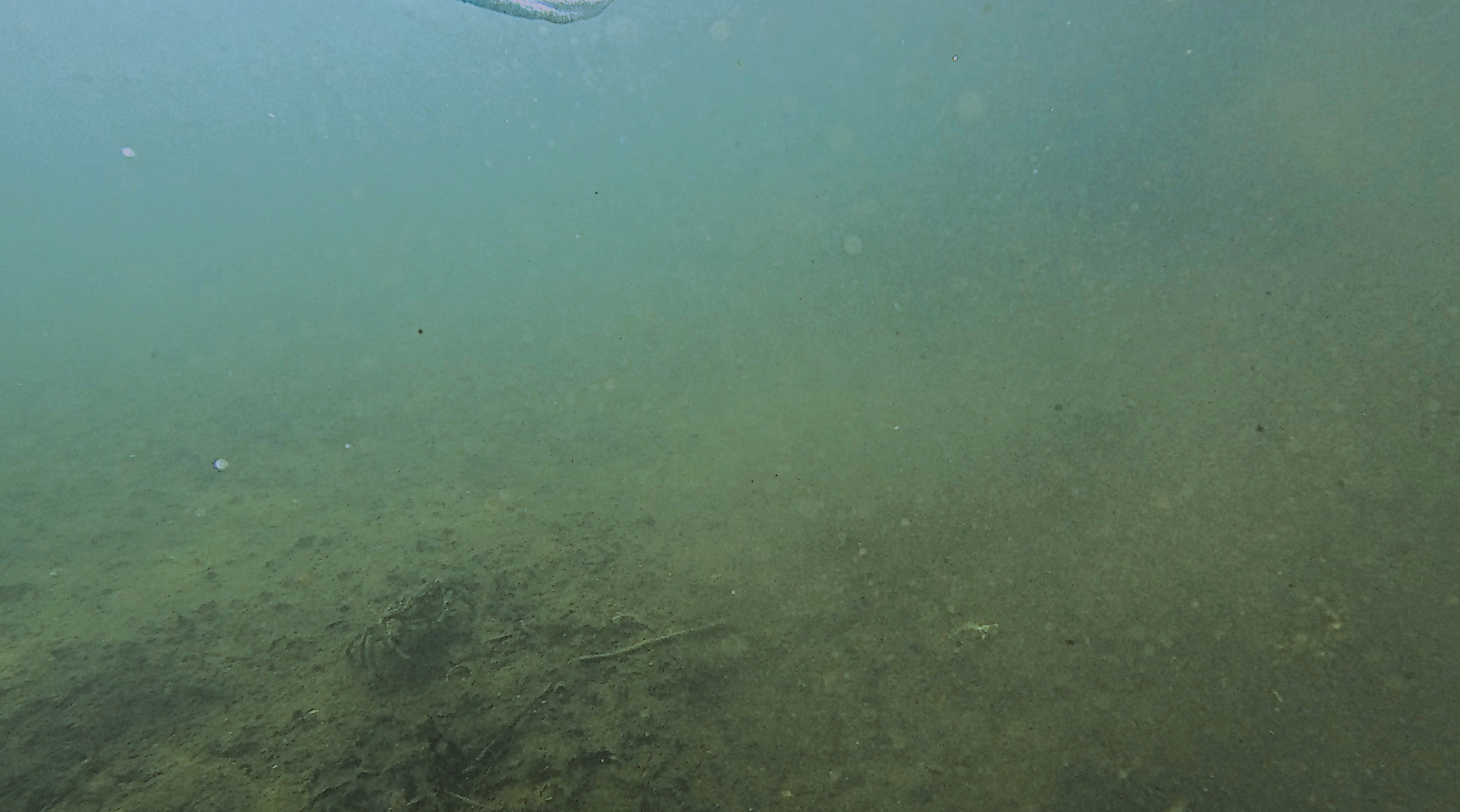
Along the same transects, the team places a camera underwater for remote underwater video surveys. They record in-place at low-tide to determine the number of fish that enter the frame, as well as what material is visible on the harbour bottom.
The data collected from these surveys are then compiled and analyzed by Coastal Action staff. Staff will record and track what species are identifiable from year-to-year and changes in habitat features over time.
This allows Coastal Action to determine:
What species are re-occurring in the area;
If fish presence is increasing as expected;
Any noticeable changes to vegetation or fish in the area; and
Any trends that begin to take place.
The team will conduct these surveys at the Mahone Bay Living Shoreline for the next 5 years (2025-2030).
The Climate Change team is collecting visual data on the fish and vegetation seen around the Mahone Bay Living Shoreline expansion site.