
Research Overview
Interested in learning more about the research taking place at the Mahone Bay Living Shoreline site? Read about several of our ongoing research projects below!
Climate Change Impacts
TransCoastal Adaptations: Centre for Nature-Based Solutions at Saint Mary’s University has been collecting data on climate change impacts and monitoring the progress of the living shoreline.
Read more about the Master’s research at the site, or to view the 2025 Monitoring Summary!
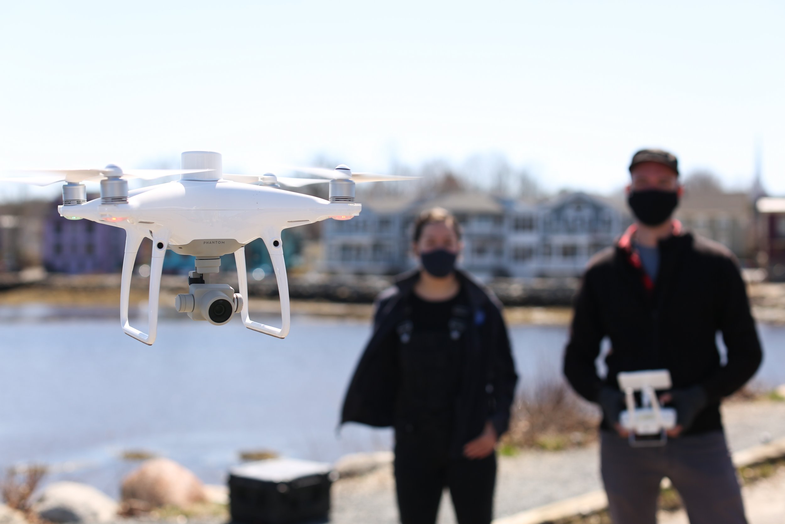
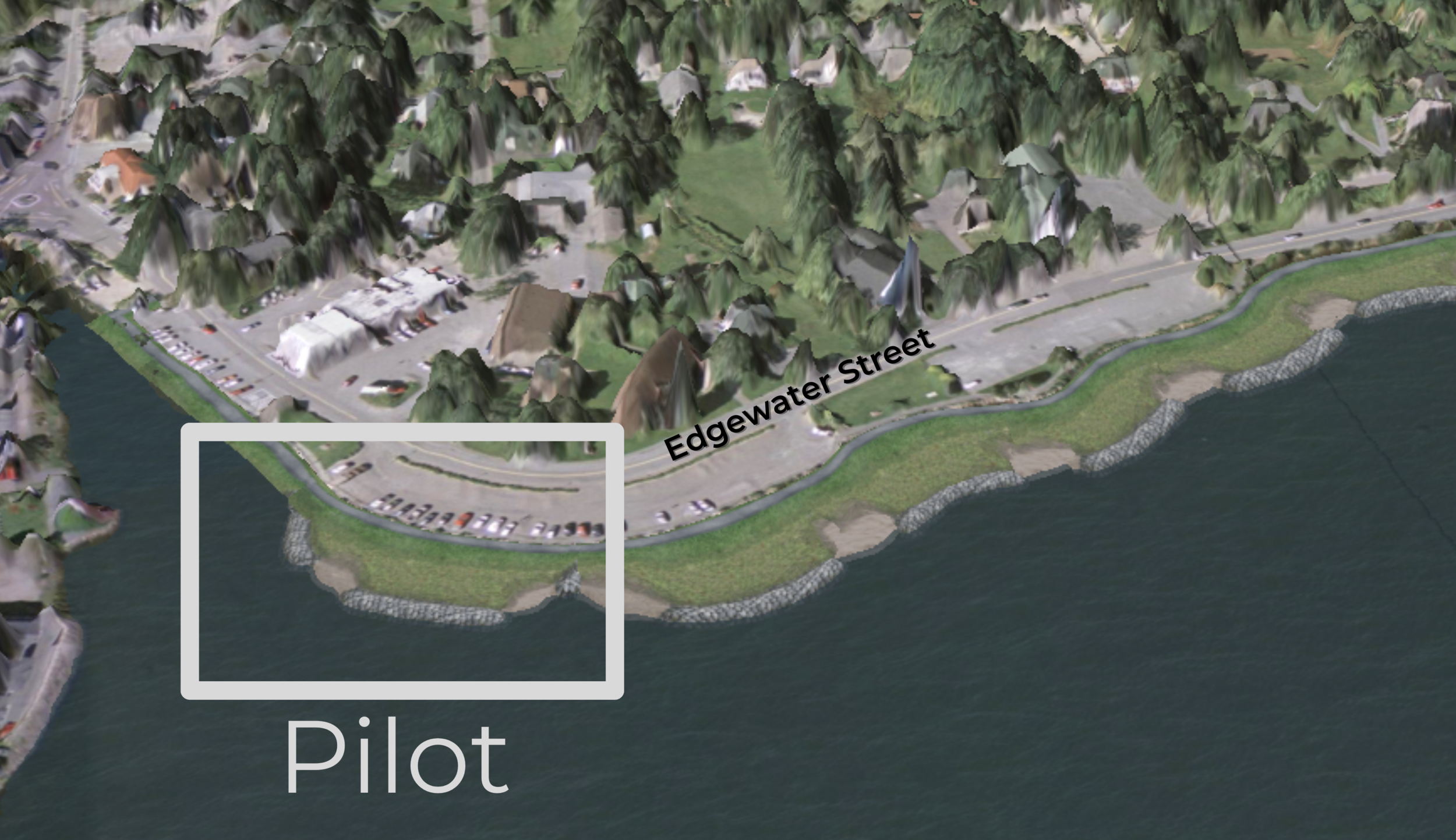
Interactive 3D Flood Mapping
3D maps are powerful tools that can help visualize the risks our infrastructure and roads face with sea-level rise and storm surges.
Check out the video on the left to learn how to navigate the Mahone Bay interactive flood map made by 3D Wave Design, or read more below!
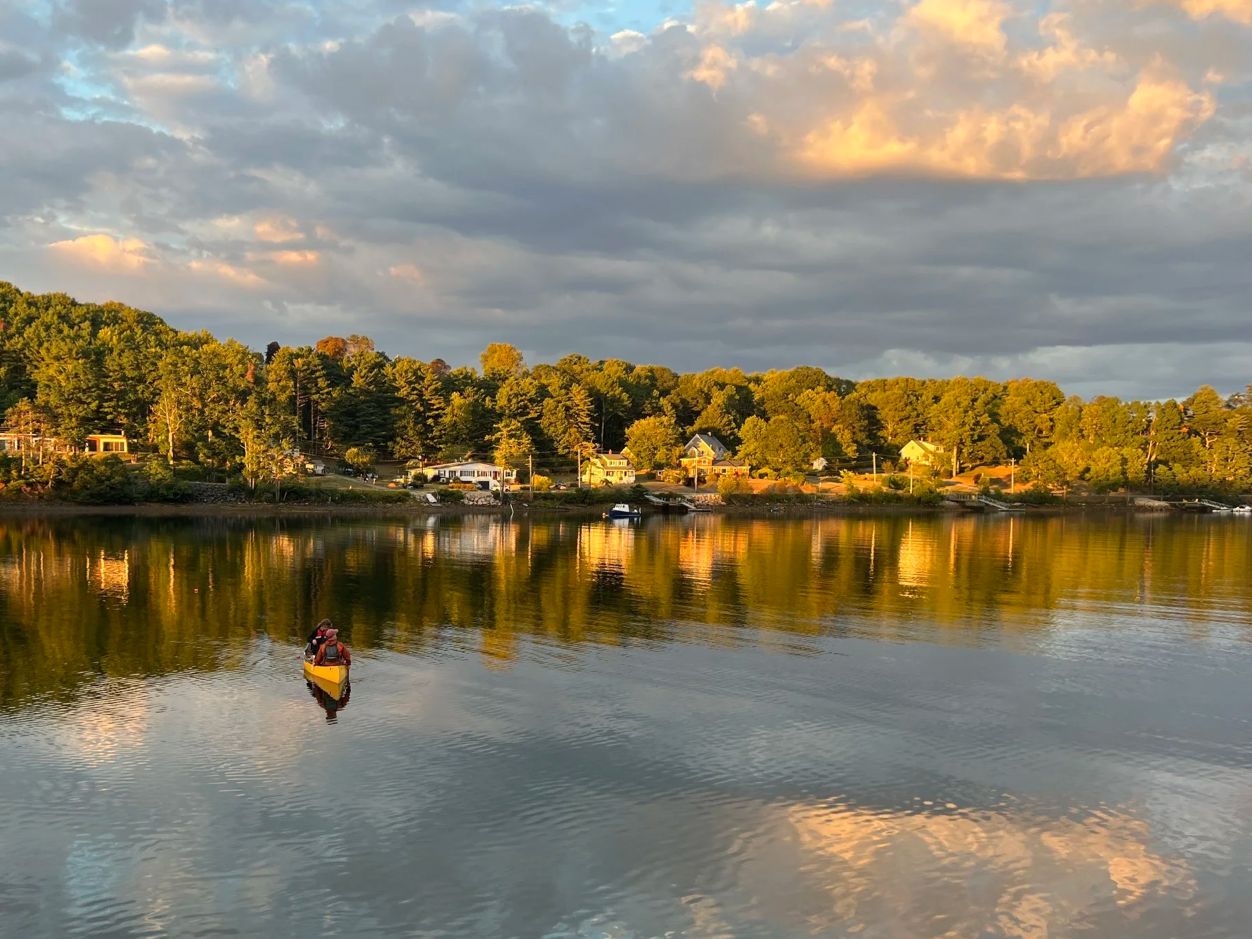
Ecological Impacts Monitoring
The Climate Change team is collecting visual data on the fish species and vegetation around the expansion site. Using an underwater camera, the team records what species are located in the intertidal and subtidal zones at low tide.
Click below to learn more about this in-house research!
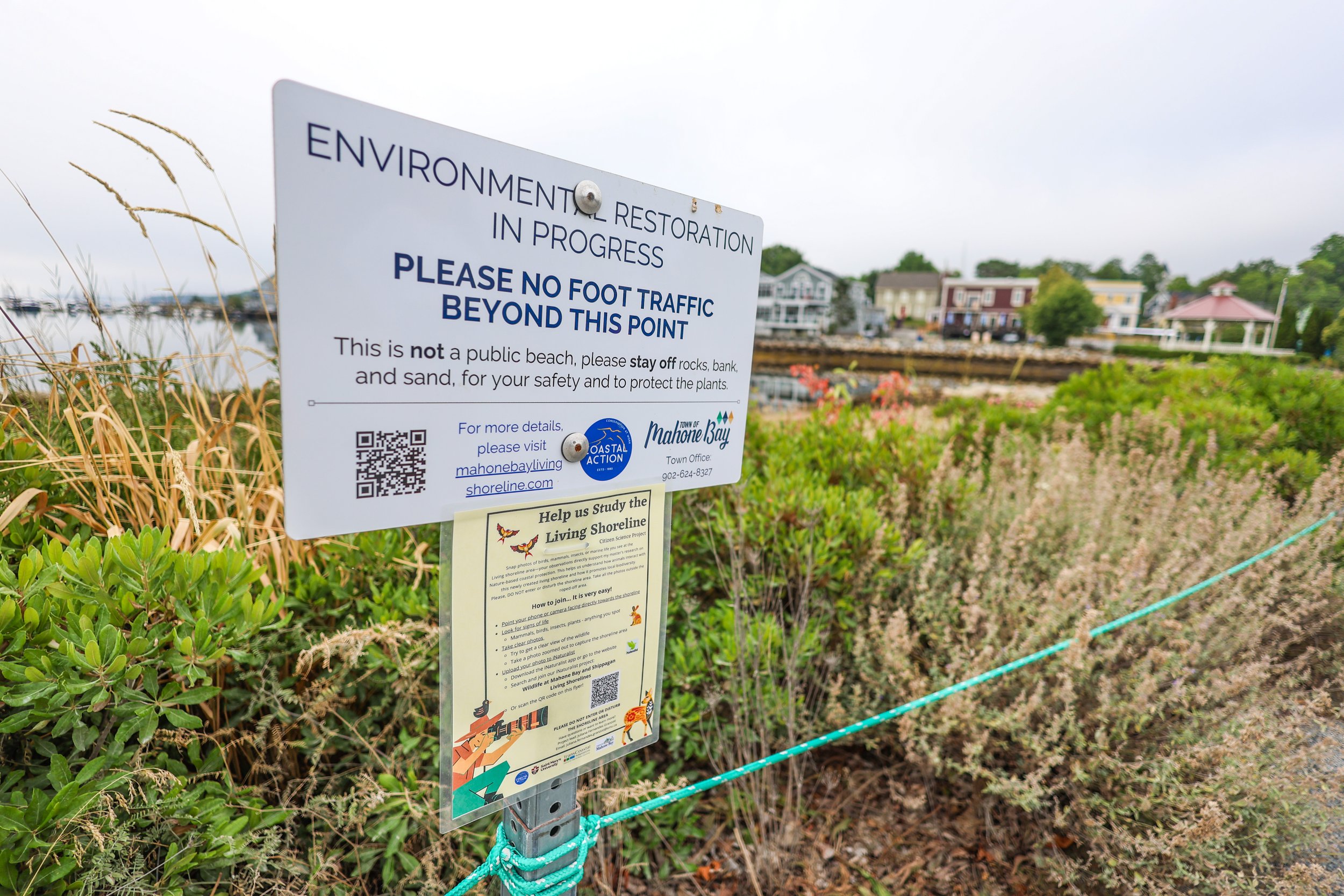
Have you ever walked along the Mahone Bay Living Shoreline, seen an animal on its shores, snapped a picture, and not known where to send it? Worry no-further!
Click below to find more about the Wildlife at Mahone Bay and Shippagan Living Shorelines iNaturalist project!