Visual Monitoring at the Living Shoreline
As the weather continues to warm, the Climate Change team is once again planning its seasonal field activities! This summer, we are excited to continue our research at the Mahone Bay Living Shoreline by collecting visual data on the fish and vegetation seen around the Mahone Bay Living Shoreline expansion site.
Creating a Visual Monitoring Protocol
In Summer 2025, Coastal Action’s Climate Change team was tasked with creating a protocol to conduct visual ecosystem monitoring at the Mahone Bay Living Shoreline. While this protocol was intended to monitor fish utilization, interaction and presence at the site, it also needed to fit the unique study location.
To create this protocol, the team explored visual fish and fish habitat monitoring protocols produced nationally and internationally. The team investigated the types of visual monitoring methods that are typically used in marine ecosystems, as well as how they have been adjusted to fit different habitat types, locations and general conditions, etc.
After considering this information within the context of the Mahone Bay Harbour (including seasonal and weather patterns, tide levels, and known species presence), the team drafted a visual ecosystem monitoring protocol specific to the site’s unique environment. This Climate Change team tested the protocol in August 2025, and successfully collected their pre-construction visual data.
What Did We Do?
Using an underwater camera (in this case, a GoPro), the team recorded what species were found along the shoreline, in different zones, at low tide. These surveys were separated into two main components: visual intertidal surveys and visual underwater surveys.
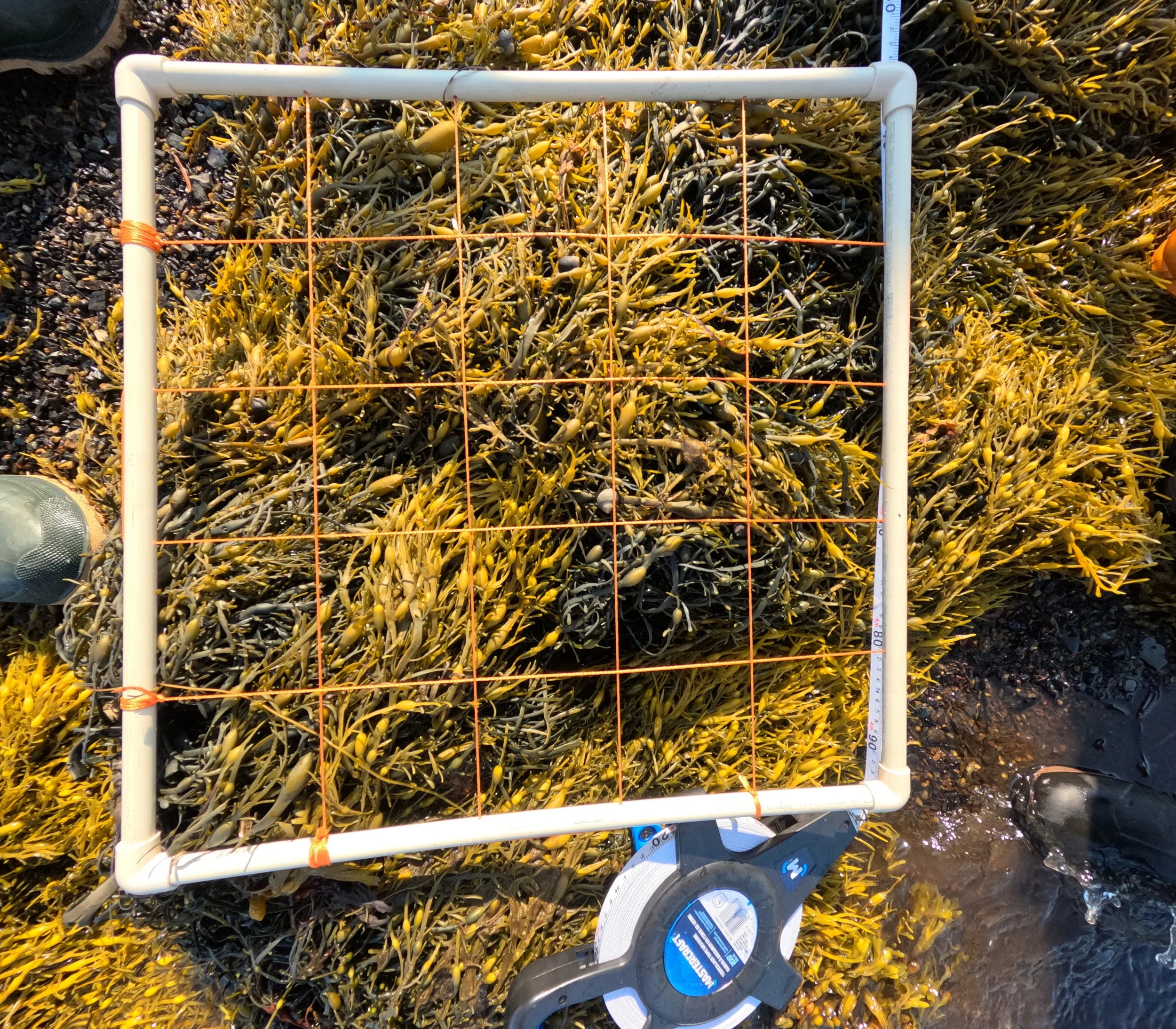
Visual Intertidal Surveys
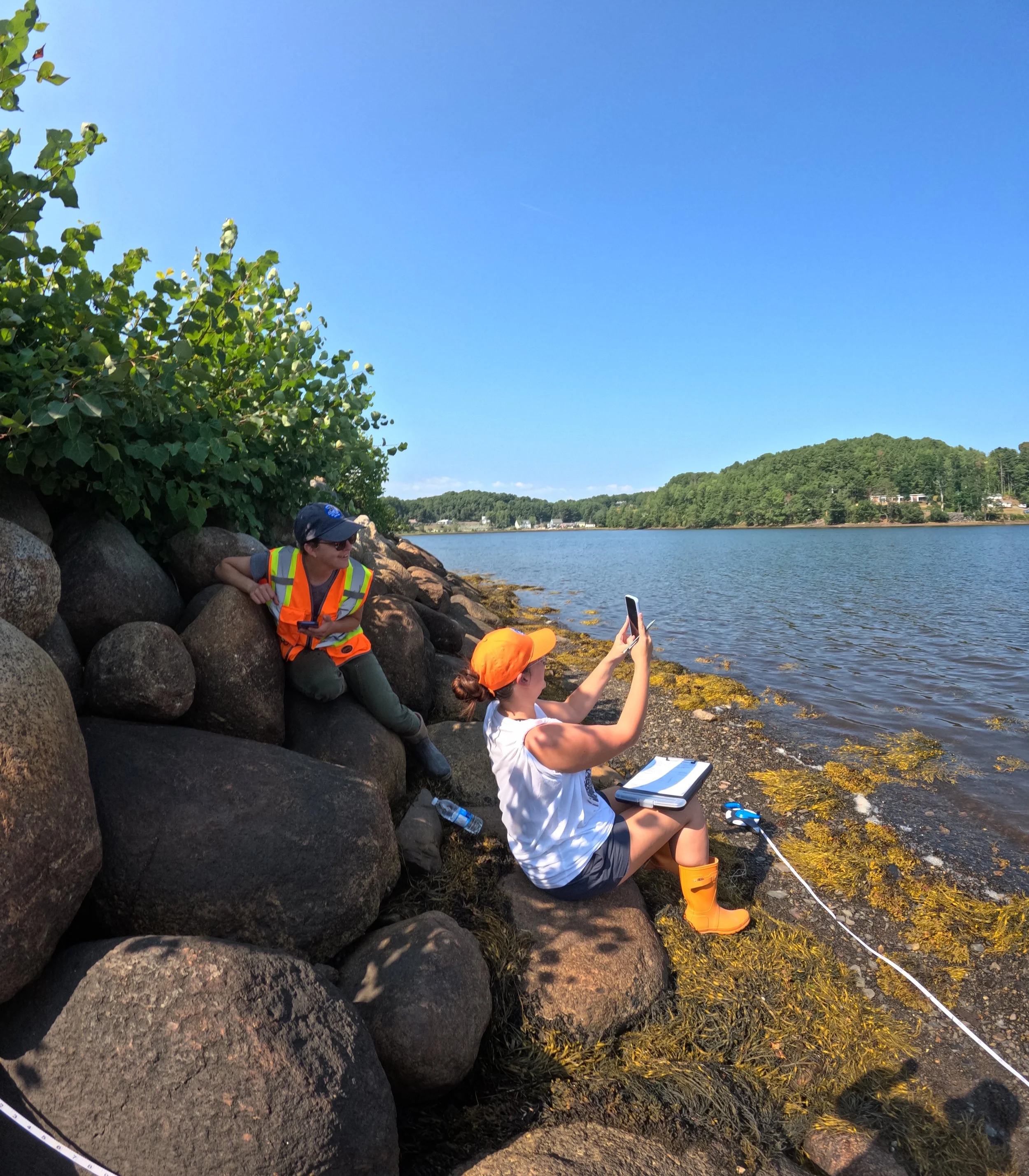
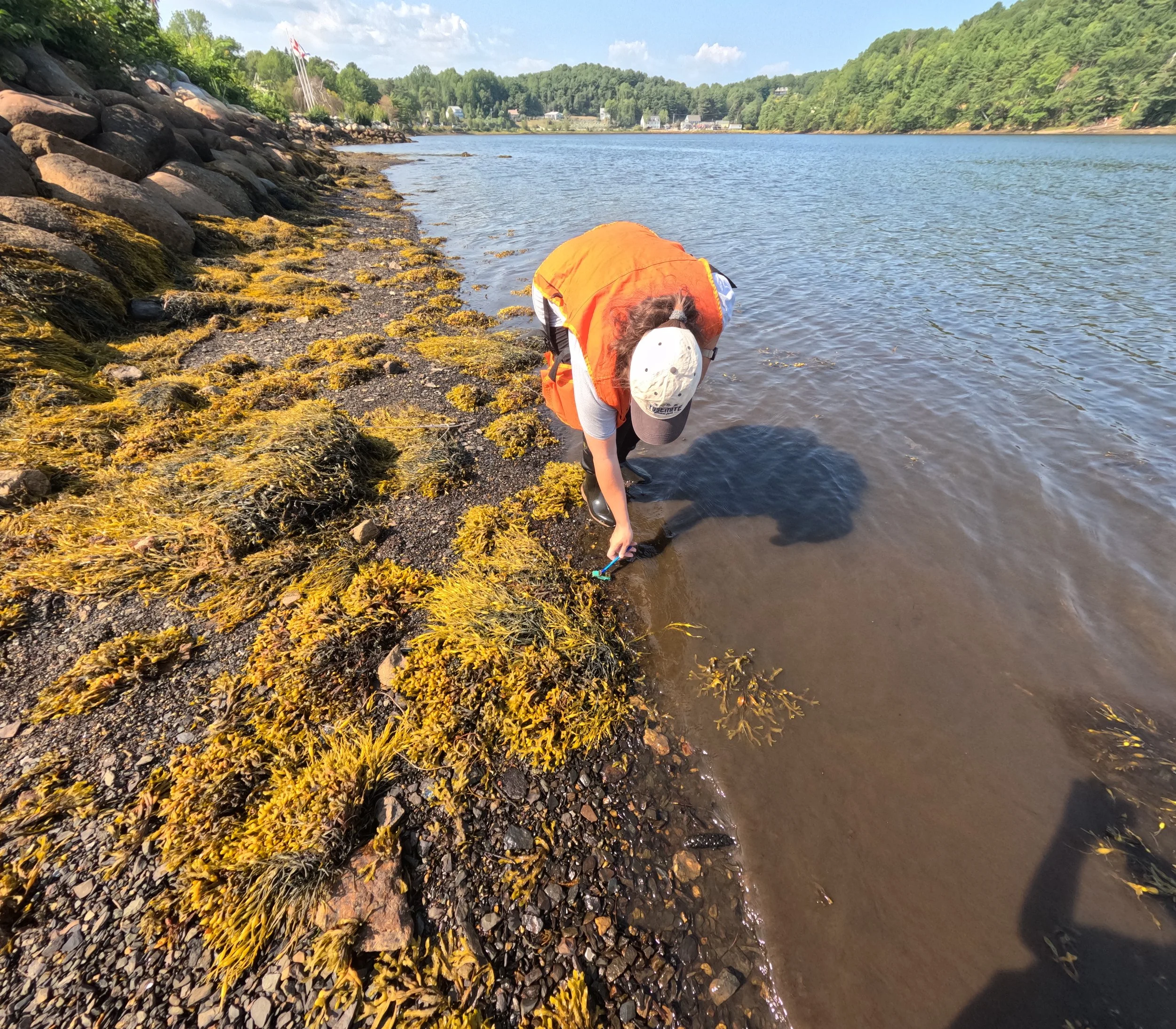
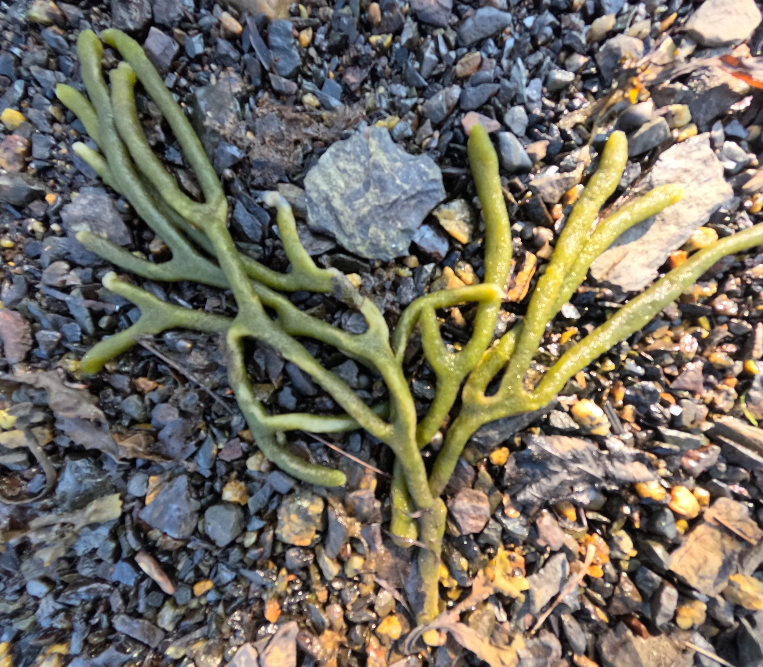
Dividing the Mahone Bay Living Shoreline into even transects (or sections), the team placed quadrats on set points along the transect line. Staff then documented the habitat material and identifiable species in the marked quadrat sections.
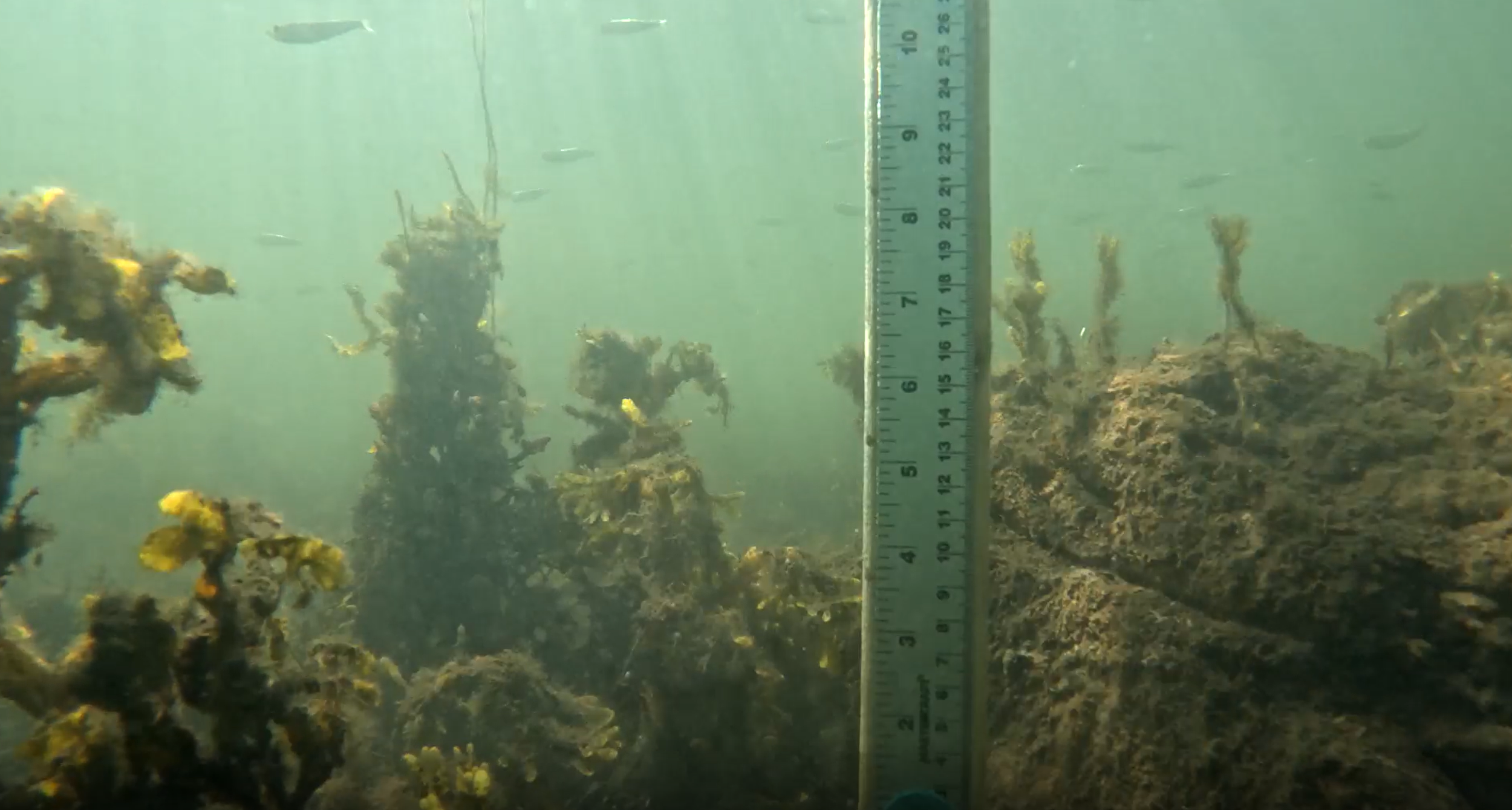
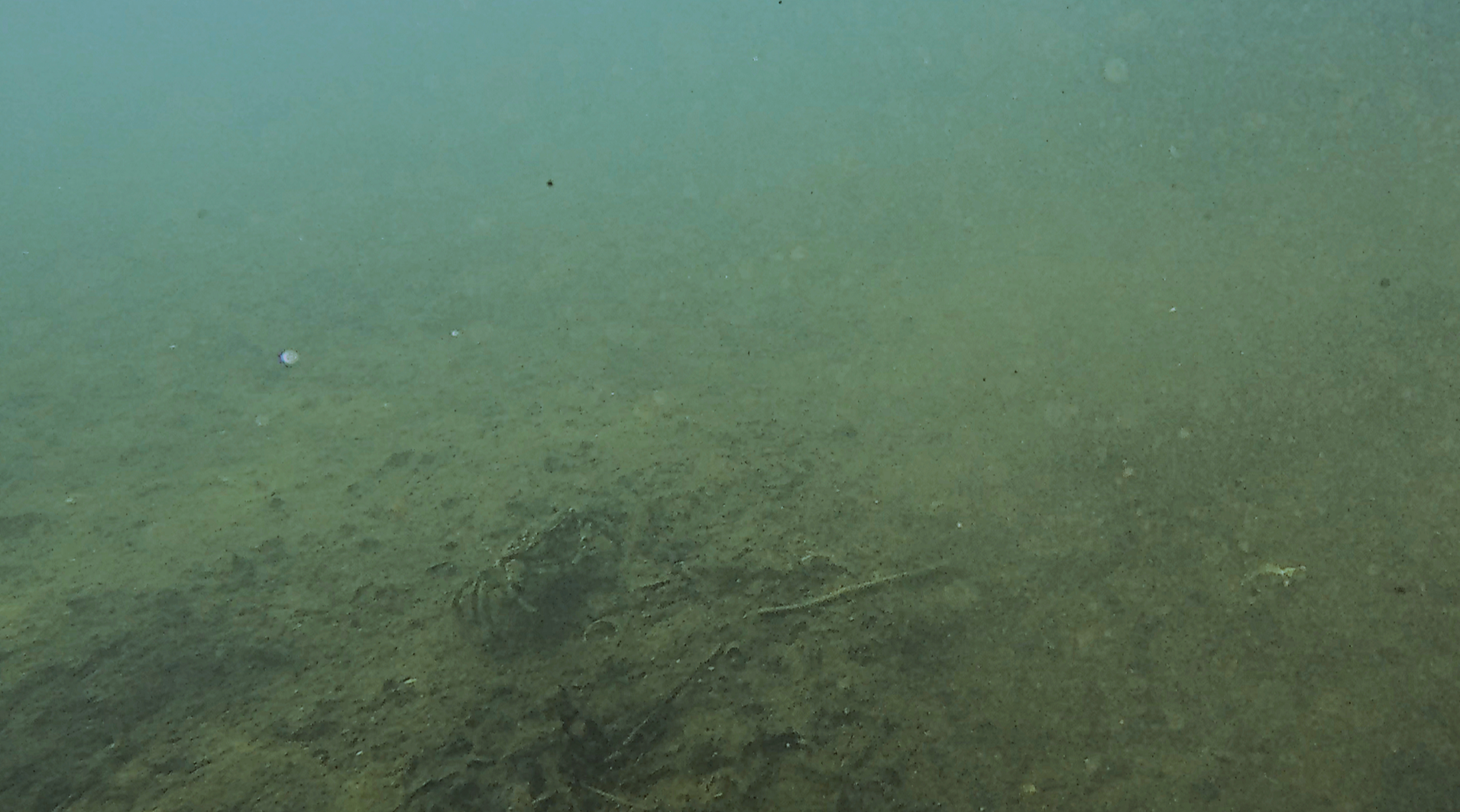
Visual Underwater Surveys
Along the same transects, the team placed their camera underwater for remote underwater video surveys. Without moving the camera, they recorded for a minimum of 15 minutes to determine visible material on the harbour bottom, and the number of fish that entered the frame.
What Are We Hoping To Find?
Over the next 5 years (2025-2030), the Climate Change team will continue compiling and analyzing the data collected from these surveys. The team will record and track identifiable species and changes in habitat features over time.
This will allow Coastal Action to determine:
What species are re-occurring in the area;
If fish presence is increasing as expected;
Any noticeable changes to vegetation or fish in the area; and
Any trends that begin to take place.
Another Exciting Field Work Season is Coming Soon!
Once this spring’s construction and planting activities have all wrapped up, our team will be out on the water again. This time, we will be collecting our round of “as-built” data at the Mahone Bay Living Shoreline expansion site.
We are excited to take what we learned from our pre-construction surveys to improve our methods even more. We can not wait to learn even more about the marine creatures and plants living in (or visiting) the Mahone Bay Harbour!
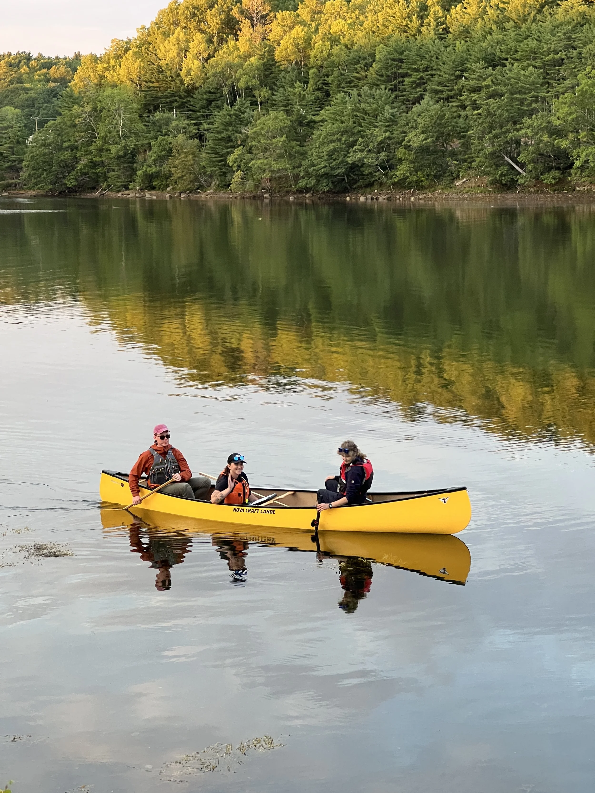
If you see us on-site in our orange gear, carrying our canoe to the water, stop by and say hi! We’re always happy to show you the site and chat in person about the work we are doing